In prior post we discussed the No Fly zones that are around all airports, airfields and bases. In today’s vast tech world, I am sure there are numerous on-line no-fly maps.
The one we refer to most is by Drone manufacturer, DJI. They provide both and online map as well as incorporating the map into their firmware and device apps.
The latter providing the pilot an immediate notification that takeoff will occur, or not, within a designated no-fly zone.
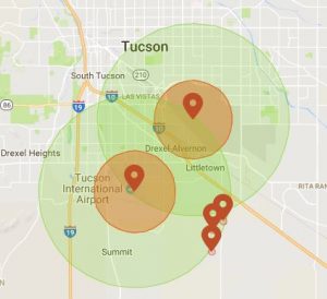
What I find most useful is that DJI’s map provides radial zones for Restricted, Authorization, Warning and Enhanced Warning zones. Restricted is as it states, totally off limits. Authorized means that as a Part 107 licensed pilot you can get authorization. This must be done with the tower in question. And MUST not interfere with any flights and follow all safety regulations. Both Warning and Enhanced Warning radial areas designate where one can fly, but must be aware that air traffic is possible and that they must not interfere with any flights. All other FAA, Country, state and local regulations must then be adhered to.
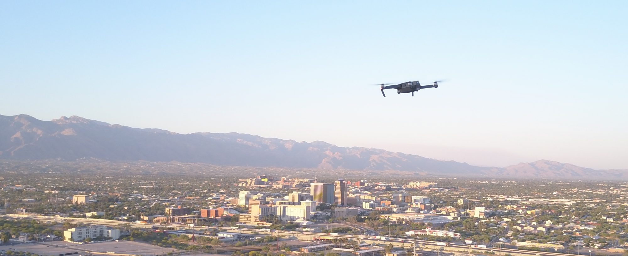
 For those reading this, I highly recommend you checking Tucson out. You might be surprised what you see.