For those of you who have updated the latest DJI firmware, you now have the ability to take Panoramic shots. And it really couldn’t be any easier. Simply pick Photo Mode, select Pano and choose between one of the four modes. ….continue reading full post →
DJI’s No Fly Zone Map
In prior post we discussed the No Fly zones that are around all airports, airfields and bases. In today’s vast tech world, I am sure there are numerous on-line no-fly maps.
The one we refer to most is by Drone manufacturer, DJI. They provide both and online map as well as incorporating the map into their firmware and device apps. ….continue reading full post →
What is the best way to know where drones can fly?
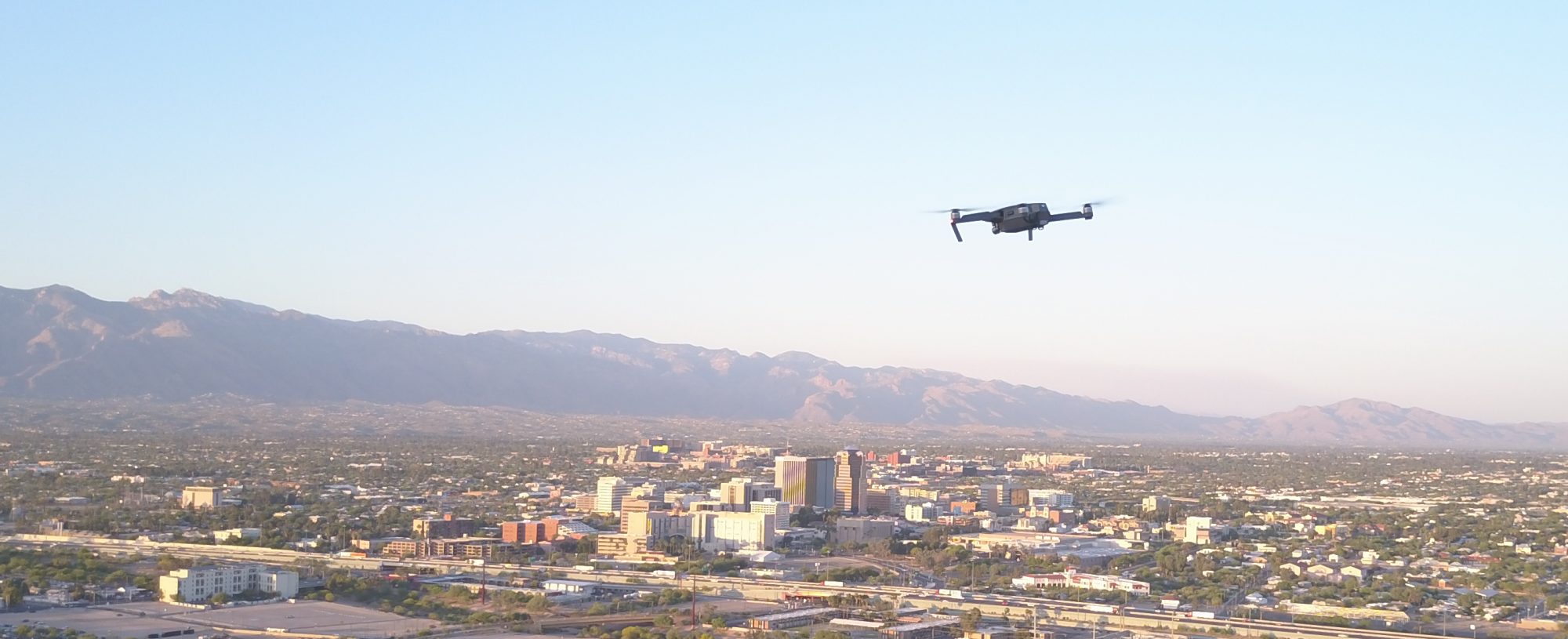
In an earlier post I discussed where one can fly a drone in Tucson. What about outside of Tucson? To answer this, let’s look at the FAA’s rules first and foremost. One of the rules that the FAA is quite clear about is NOT flying inside the specified radius of any airports. Called the No-Fly zone. ….continue reading full post →
Catch 22
The Part 107 rules are the basic operating constructs for which the majority of unmanned operations can occur. Without listing out every single rule, there are some basic foundations that are best understood. Basically, the ruling is only a set of guidelines by which flight is limited. And here’s the catch.
The Catch
 They, the FAA or any other agency, currently mandate any training or specific operational requirements for the functionality of the drone/UAV. ….continue reading full post →
Where can I fly?
Although the FAA has jurisdiction of all US Airspace, it has provided the means for state, city and local governments some latitude on governing of UAV flights.
….continue reading full post →