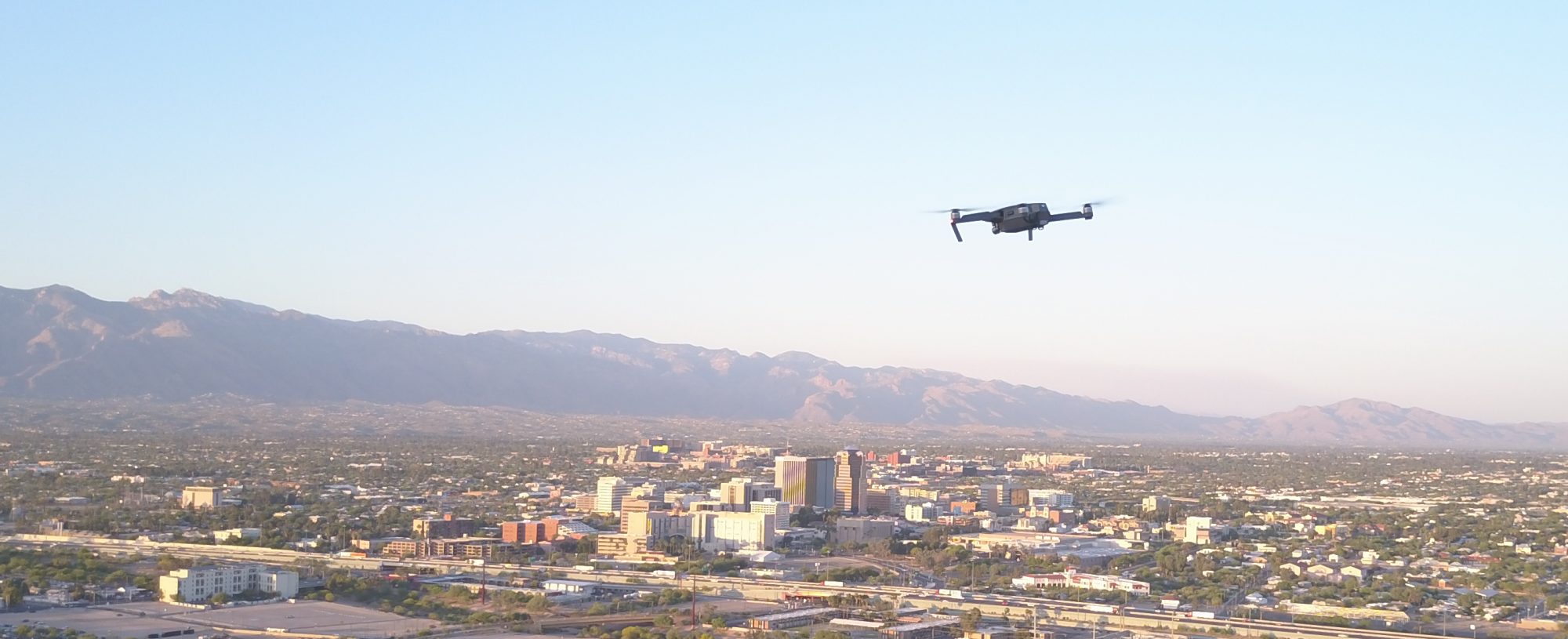
Mapping using sUAS (drones) can be useful in may industries, below is a short list of some of the solutions and a small sample of the basic ways Drone Solution Specialists can save time, money, and possibly even bring other ROI or solutions you don’t know about.
Construction
Collecting construction images from a sUAS (drone) and processing them to create real-time, accurate, and measurable 2D and 3D data, such as orthomosaics and point clouds, can potentially save thousands of dollars in dirt work. For instance, you can verify the foundation is built to spec and the water will drain properly.
Surveying
Using a sUAS to survey a site can save time and money. A case study of an 85.4 acre site found the time to survey with the sUAS took only 6.8 hours of flight time and Ground Control Point collection, whereas the traditional field survey took 81.6 hours, a savings of 74.8 hours, two weeks versus one day.
Mining
Mining is similar to construction. Area, cut, fill, and volume of stockpiles is often needed in the industry all of this can be measured in our software after the collection of images and processing of orthomosaics and point clouds.
Forensics
Forensics is one if the newest uses of mapping. Collecting forensic images from a sUAS of a crash site, or crime scene can be used to measure skid marks, or distance of objects, and 3D models.
Click here to Request a Call to see how we may be able to help.


